

Gore Bay
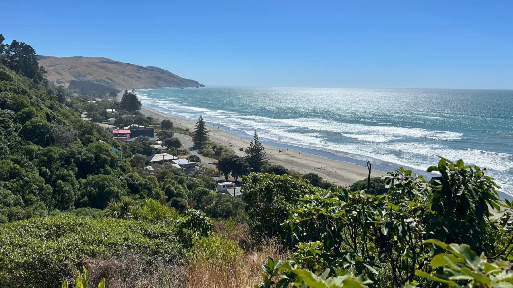
Slope Stability Assessment
Hurunui District Council has been carrying out hazard and risk assessments throughout 2024 and 2025 on the slope in Gore Bay.
Following a desktop study completed in October 2025, Council decided that a Qualitative Assessment was the appropriate next step. It would give an initial understanding of the potential hazards and where necessary, identify the need for more detailed quantitative investigations to confirm or refine the hazards and level of risk.
We encourage you to read the Stage 2 Slope Stability Assessment reports below, for a full understanding of the hazards and levels of risk present at the site. You can also consult our Frequently Asked Questions before you delve into the reports.
We sincerely thank Gore Bay residents for your patience and support as the geotechnical experts from Jacobs have undertaken these assessments.
The Stage 2 Slope Stability Assessment report and supporting information can be found here:
FREQUENTLY ASKED QUESTIONS
Why is it called a Qualitative Assessment and how is it different from a Quantitative Assessment?
Qualitative Assessment
“An analysis which uses word form, descriptive or numeric rating scales to describe the magnitude of potential consequences and the likelihood that those consequences will occur” (Landslide Planning Guidance, De Vilder, 2024).
This draws on professional experience, expertise and established principles, combined with information from existing reports and non-intrusive site observations (visual inspection, without digging or drilling). The result is a descriptive rating such as Very Low, Low, Medium, High or Very High.
Quantitative Assessment
“An analysis based on numerical values of the probability of occurrence of a potential damaging event, vulnerability of the exposed elements and consequences, resulting in a numerical value of the risk.” (Landslide Planning Guidance, De Vilder, 2024).
This involves further slope stability modelling – such as rockfall and debris flow analysis – usually combined with intrusive geotechnical ground investigations, e.g. drilling or test pits, to provide more detail. This allows the assessment to target the most likely landslide scenarios and site-specific risks. Where needed it will also look in depth at how vulnerable infrastructure, people or property is to landslides of different sizes.
What steps were taken to reach the hazard rating for my property?
A Qualitative Risk Assessment typically follows an industry-standard approach made up of the steps below.
Information gathering – historical data. For this assessment, historical information was gathered from a variety of sources including:
- Information gathered from previously issued reports;
- Council supplied reports and communications;
- Publicly available technical papers, reports, maps and imagery;
- Landowner and public communications.
Site Walkover and Engineering Geological Mapping exercises
The site walkover and engineering geological mapping used drone flights to capture georeferenced aerial and elevation images. Some landowners gave access to their site; where access was not granted, the assessment relied on assumptions and interpretation to identify landslide hazards.
Landslide Hazard Identification and other related hazards
To help identify potential landslide hazards, a geomorphological analysis (a study of landforms and how they have changed over time) was also carried out. This showed that different types of landslides occur within the study area, Key geomorphic features – such as tension cracks and tilted power poles – provided examples of ‘active’ slope instability. This information is shown on the Engineering Geological Maps and in Table 3 of the Gore Bay Qualitative Hazard and Risk Assessment.
Landslide Hazard Assessment using the National Policy Statement for Natural Hazards 2025 and the Australian Geotechnical Society (AGS) Guidelines for Landslide Risk Management 2007.
The final step applied two frameworks: the National Policy Statement for Natural Hazards 2025 (NPS-NH) and the AGS Practice Note Guidelines for Landslide Risk Management 2007 (AGS 2007).
Both frameworks combine likelihood and consequence to produce an overall hazard risk rating. The NPS-NH is used to align with recent government policy changes. The AGS 2007 framework widely recognised as the industry standard for landslide hazard assessment in Australia and New Zealand.
Because the NPS-NH does not apply to existing development (i.e. development completed before December 2025), it may not be the right framework for assessing risk on existing properties. For this reason, both approaches have been used in this assessment.
Both documents are included in the appendices of the Slope Stability Assessment report.
Has the hazard risk assessment of the properties been averaged or generalised over the slope?
The risk has not been averaged or generalised. The Slope Stability Assessment provides a hazard risk rating for each individual property. Properties with very similar ground conditions (for example, similar geology, topography and geomorphology) will have the same or a similar hazard risk rating.
Why is there a hazard rating for my property even though I have not provided foot access and/or drone access?
(Please see answer to "What steps were taken to reach the hazard rating for my property?")
In addition:
Where access to a property was not provided, the potential landslide types were assessed using observations of neighbouring properties, along with information from the existing data review and geomorphological analysis. It is possible that the hazard risk rating for these properties could change, higher or lower, if access were provided in future.
The report notes this limitation and recommends that:
“…further site visits to land parcels where access was not provided during the first site walkover should be considered. This will address factual data gaps and reduce uncertainty around the collected information…” (see section 8.2 of the Slope Stability Assessment report).
The risk ratings are intended to give an initial understanding of potential hazards and, where necessary, to trigger more detailed quantitative investigations. The more detailed quantitative investigations would confirm or refine the level of risk and identify appropriate mitigation measures, for example, where a risk of ‘medium’ to ‘very high’ has been identified under the NPS-NH framework.
While this Slope Stability Assessment is qualitative, the Council is confident that the information and data collated is adequate to inform the risk ratings for individual properties.
Why is my property shown as high risk when I’ve never had a problem?
Even though some properties in the area may never have experienced slope instability, there is a possibility of your property being affected in the future.
No single factor determines what triggers a Slope Instability Event. However, the Catchment and Rainfall Assessment shows that rainfall is strongly linked to past slips. Rainfall is also projected to become more intense and variable in future due to climate change (see Section 4 of the Catchment and Rainfall Assessment).
The Slope Stability Assessment is based on two frameworks – the Australian Geomechanics Society (AGS) Practice Note Guidelines for Landslide Risk Management 2007 (AGS 2007) and the National Policy Statement for Natural Hazards 2025 (NPS-NH) – which guide how risks are evaluated. See Appendices E and F of the report for details.
Why am I rated as ‘high’ for risk from hazard(s) but my neighbour has a ‘low’ rating?
Slope stability hazards involve landslides that can vary greatly in how fast they move, how much material is displaced and how far that material travels. These are dynamic movements that involve different processes and types of movement.
Understanding this range is crucial for developing hazard identification, risk assessments and mitigation strategies. If your neighbour is assessed as not being at risk from a particular slope instability hazard, they may end up with a different overall rating from yours.
For example, a rockfall hazard is less likely to affect neighbouring properties than a slide or debris flow, because it typically involves a smaller volume of displaced material.
Has this report been peer-reviewed?
No, this study is intended to give an initial understanding of potential hazards, and where necessary to trigger more detailed quantitative investigations to confirm or refine the level of risk. A peer review would normally be carried out after the Quantitative Assessment has been completed.
I don’t accept this data. Can I challenge or appeal this assessment?
Yes, you can engage your own suitably qualified and experienced person (e.g. a Geotechnical Engineer and/or Engineering Geologist) to carry out a site-specific investigation, which may produce a different risk rating to this report.
This option is acknowledged in the report (see Section 8.2 of the Slope Stability Assessment report).
We have already carried out a site-specific geotechnical investigation at our property, before the Gore Bay Slope Stability Assessment was carried out. Will the Council accept this?
Council can include the site-specific investigation on your property file alongside the Slope Stability Assessment report. Both reports will then be noted on your Land Information Memorandum (LIM).
However, if you carry out future development on your property, to the existing dwelling or the land, you may need to carry out an updated site-specific investigation as part of a building or resource consent application. This is to show that:
- The development will not increase the risk to your property or to neighbouring properties
- Any mitigation measures carried out sufficiently reduce the risk to your property, and do not increase the risk to neighbouring properties.
Can I get the risk rating changed in the Slope Stability Assessment report if my own site-specific geotechnical investigation shows a lower or different risk?
No, the Slope Stability Assessment report is a qualitative study, based on information available at the time of investigation.
The outcomes of your own site-specific investigation can be added to your property file alongside the Slope Stability Assessment report. Both reports will then be noted on your LIM.
Is it still safe to live in my house?
At this stage, the Council considers it is still safe for the affected properties to continue to be occupied. What you do next depends on the level of risk you are comfortable with, and will determine whether you choose to accept, mitigate or reduce the risk from the hazards your property is exposed to.
We strongly recommend that landowners take mitigation measures where the risk from hazards has been identified as high or very high. Until these mitigations measures are in place we urge residents to be extremely cautious during intense or prolonged rainfall, and to avoid sleeping in rooms closest to the toe of the cliff face during these events.
We recommend that landowners commission their own geotechnical experts to identify site-specific mitigation measures.
What actions are homeowners able to undertake to manage and/or reduce the risk?
At this stage the Council does not require an updated geotechnical assessment. It is up to individual property owners whether they want to commission their own engineering or geotechnical investigation to:
- identify mitigation works to reduce risks identified, or
- confirm if existing mitigation works sufficiently to reduce the risks identified.
Your options depend on your level of risk and how much of that risk you are willing to tolerate.
You could:
- Accept the risk and continue as normal (but be mindful of heavy rainfall events which may increase the risks of some hazards)
- Mitigate the risk – for example, by installing bunds or barriers, retaining walls, or removing loose rockfall material
- Reduce the risk by:
- Avoiding using back rooms in rainfall events, including bedrooms
- Installation of a rainfall gauge to form an early warning system
- Receiving emergency notifications
The report provides high-level, generic recommendations outlined below:
- Commission a Suitably Qualified and Experienced Person (SQEP) to complete a site-specific quantitative risk assessment for your property.
- Maintain and encourage the growth of appropriate planting which will help dissipate kinetic energy and reduce rockfall and debris runout distances originating from upslope.
- Consult a SQEP before undertaking any construction or earthworks that intend to over-steepen the existing slopes.
- Provide further data including information about any existing mitigation measures and/or geotechnical reports already completed.
Apart from the high-level recommendations provided in Section 8.2 of the Slope Stability Assessment report, Council is unable to provide further details about mitigation measures for individual properties, as these will be site-specific. We recommend engaging your own SQEP to advise on specific measures to avoid, remedy or mitigate the risks identified for your property.
We will not change the risk rating in the Slope Stability Assessment. However, we can include any further reports on your property file, and note the findings and any works carried out on your LIM.
How will this affect my insurance or Natural Hazards Commission (Toka Tū Ake) cover?
Council is unable to provide any advice on this. We recommend property owners check with their insurance companies.
Will this stop me from subdividing, building or renovating my property? Is mitigation accepted?
This will depend on the specific hazard(s) your property faces, and the level of risk involved. If you wish to carry out further development on your property, you will need to meet the requirements of the NPS-NH and the Building Act 2004, alongside recommendations in Section 8.2 of the Slope Stability Assessment report relevant to your level of risk. You may need to engage a Suitably Qualified and Experienced Person to carry out any site-specific works.
Is Council going to carry out a quantitative investigation?
Council will not be carrying out any further site-specific or quantitative investigations. Any future investigations will need to be commissioned by individual landowners – either as part of their own geotechnical due diligence, or when applying for a resource or building consent for new development.
What are some common terms used to describe slope instability?
You can find a list of commonly used technical terms for slope instability here.
You can find more technical terms in the following documents that are considered industry guidelines for good practice:
- National Policy Statement for Natural Hazards 2025 (See Appendix E of the Slope Stability Assessment)
- New Zealand Geotechnical Society (NZGS) Slope Stability Geotechnical Guidance Series, 2024 to current (See Appendix F of the Slope Stability Assessment)
- Guidelines for Landslide Risk Management - Australian Geomechanics Society (AGS), 2007
- Landslide Planning Guidance – Reducing Landslide Risk through Land-Use Planning, 2024
What are the next steps for Council?
Council will not be carrying out any additional site-specific geotechnical assessments, or recommending site-specific mitigation measures; property owners will need to engage their own SQEP for this.
The Slope Stability Assessment, any other site-specific geotechnical investigations, and records of verified mitigation works will be added to property files and referenced when a LIM is requested.
Technical reports
- Coastal Citizen Science Options (PDF, 473.8KB)
- CoastSnap information (PDF, 1.6MB)
- Final Dissertation - Laura Somerville (PDF, 5.4MB)
- Geotechnical Desktop Study - Gore Bay_Appendices_Revision 4.pdf (PDF, 17.6MB)
- Geotechnical Desktop Study - Gore Bay_Report_Revision 4.pdf (PDF, 2.7MB)
- Gore Bay Slope Stability Assessment 23 March 2026 community meeting presentation (PDF, 6.8MB)
- Gore Bay Slope Stability Assessment Final Report March 2026 (PDF, 27.6MB)
- Gore Bay Slope Stability Assessment March 2026 Appendix C - Catchment and Rainfall Assessment (PDF, 21.7MB)
- Gore Bay Slope Stability Assessment March 2026_List of Technical Terms.pdf (PDF, 56.2KB)
- Hurunui District Coastal Adaptation Short Listed Options (PDF, 2.2MB)
- Hurunui District Coastline Hazard and Risk Assessment (PDF, 4.2MB)
- Hurunui District Coastline Hazard and Risk Assessment - Appendix (PDF, 17.3MB)
- Jed River and Buxton Creek Mouth Issues and Options (PDF, 2.4MB)
- Planning Options for Coastal Communities (PDF, 1.1MB)
Past engagement
- Insurance session 24 November 2025 - link to presentation and notes
- Community meeting 13 September 2025 - link to presentation
- Community meeting 26 July 2025 - link to presentation
- Community meeting 13 May 2023 - link to presentation
- Community meeting 1 October 2022 - link to presentation
- Community meeting 22 May 2021 – link to presentation and values feedback
- Drop-in session 5 December 2020
- Community meeting 24 September 2020 – link to presentation
We'll update and share information as it becomes available but if you need to get in touch or want to join our emailing list, email us at: coastal@hurunui.govt.nz

